If your route through the Hugh S. Branyon Backcountry Trail has been the same for the past few years, you may not have noticed that the trail got bigger. Riders logging their trips this spring reported a new stretch on the quieter, more remote side of the park, roughly six miles of freshly paved path and boardwalk, with only a couple of connection points still unfinished as of early May. One rider guessed the whole thing would be finished by July. It's now the tail end of August, a month or so past that estimate, so the new section should be fully open and past its first real test of summer crowds. Plenty of people who walk or bike this trail every week are still circling the same loop they rode before it existed.
That's the part worth sitting with. It isn't the total mileage, though 28 miles across 26 named trails and nine ecosystems is a serious amount of maintained ground for a city this size to keep up. It's that the busiest part of the trail and the newest part of the trail are, for now, two different experiences of the same park, and the people who already treat this trail as a daily habit are the ones positioned to notice the difference first.
The Six Miles Nobody's Rerouted To Yet
The new stretch is built the same way as the rest of the system, asphalt for the walking and biking surface, with bridges and boardwalk sections finished in a non-slip composite material rather than the older wood decking. What makes it feel different on the ground is the routing. Riders who covered it this spring described fewer driveway crossings than the original portion, which means fewer stop-and-go moments and a longer, uninterrupted stretch through pine flatwoods and freshwater marsh.
Six miles added in a single construction push is not a small addition for a trail system that grew a few miles at a time for most of its history. The original leg was 1.75 miles when it opened in 2003. Reaching the current 28 miles took more than two decades of incremental expansion. The newest stretch went in over a single construction season.
Where This Actually Changes Your Route
The four established trailheads aren't interchangeable, and which one makes sense depends on what else is on your list that day.
- Catman Road Trailhead, 3801 Orange Beach Boulevard: the original entry point, and still the one most people default to out of habit.
- Cotton Bayou Trailhead, 3400 Orange Beach Boulevard, near the water tower: the shorter path into the bayside sections if you're short on time.
- Rattlesnake Ridge Trailhead, 4060 Orange Beach Boulevard, with parking behind City Hall: useful if you're already headed to City Hall or the post office, and often the quietest of the four outside business hours.
- Rosemary Dunes Trailhead, 24037 Perdido Beach Boulevard: closest to the Gulf-side lodging cluster, which means it absorbs more out-of-town traffic than the others, especially in shoulder season.
Rattlesnake Ridge is worth a second look if you haven't used it recently. Within the last two decades it was a narrow, sand-and-gravel path, only paved after a federal transportation grant covered the work. It's easy to forget that some of what feels like permanent infrastructure here is younger than a lot of the houses around it.
The Rules That Keep 770,000 People From Colliding
The trail pulled in more than 770,000 visitors in 2024, a figure that puts real pressure on the busiest trailheads during peak weeks even as the newest six miles sit half-discovered. The posted trail rules are short but specific: a 12 mph speed limit meant to keep the path from turning into a road-biking lane, pets on a leash at all times, and a hard stop at daylight hours, no camping and no exceptions. Cyclists are asked to keep right and yield to patrol and maintenance vehicles, which show up more often than first-time riders expect given how remote parts of the trail feel.
For anyone who doesn't want to haul a bike out for a short ride, Gulf State Park runs a free bike-share program through the Bloom app, with 50 bikes staged at stations around the park and the first three hours free. It's a reasonable way to test the new extension before deciding whether it earns a permanent spot in your rotation.
What's Moving Through the Marsh Right Now
Alabama is in the middle of one of its more reliable seasonal shows. Each fall, millions of birds pass through the state along the Mississippi Flyway, the migration corridor running from central Canada to the Gulf, and this trail's inclusion on the Alabama Coastal Birding Trail list isn't incidental. Riders regularly report osprey and other marsh birds along the freshwater sections, and the Rosemary Dunes leg runs past a swamp where alligator sightings are common enough that regulars stop mentioning them.
The Other Reason People Still Call It Catman Road
The trail's oldest section carries a name with more history behind it than most visitors realize. Long before it was pavement, Catman Road was a logging route, and long before that, it was one of the paths used by the area's indigenous peoples. Local legend has attached itself to the corridor for generations, a story about a lone figure said to be part man and part wildcat, seen or heard rustling through the palmettos at the edges of the swamp. Since the trail closes at daylight's end and camping isn't allowed, nobody's had much official opportunity to confirm it after dark. The name survived the story either way, and it's part of why longtime residents still call the whole network by the old road's name even now that it stretches across two cities and a state park.
The trail itself owes its existence to a specific person doing a specific job. Hugh S. Branyon served as Gulf State Park's superintendent from 1970 until 2009 and pushed for the public access that eventually became this system. Two decades ago, the City of Orange Beach's environmental planner at the time, Philip West, rediscovered the overgrown old roadbed and saw what it could become. What started as one reclaimed road is now a trail system that's carried the USA Today 10Best title for Best Recreational Trail three years running, and was honored again alongside the Orange Beach Festival of Art at the 2025 Alabama Governor's Conference on Tourism.
Built Along the Same Ground
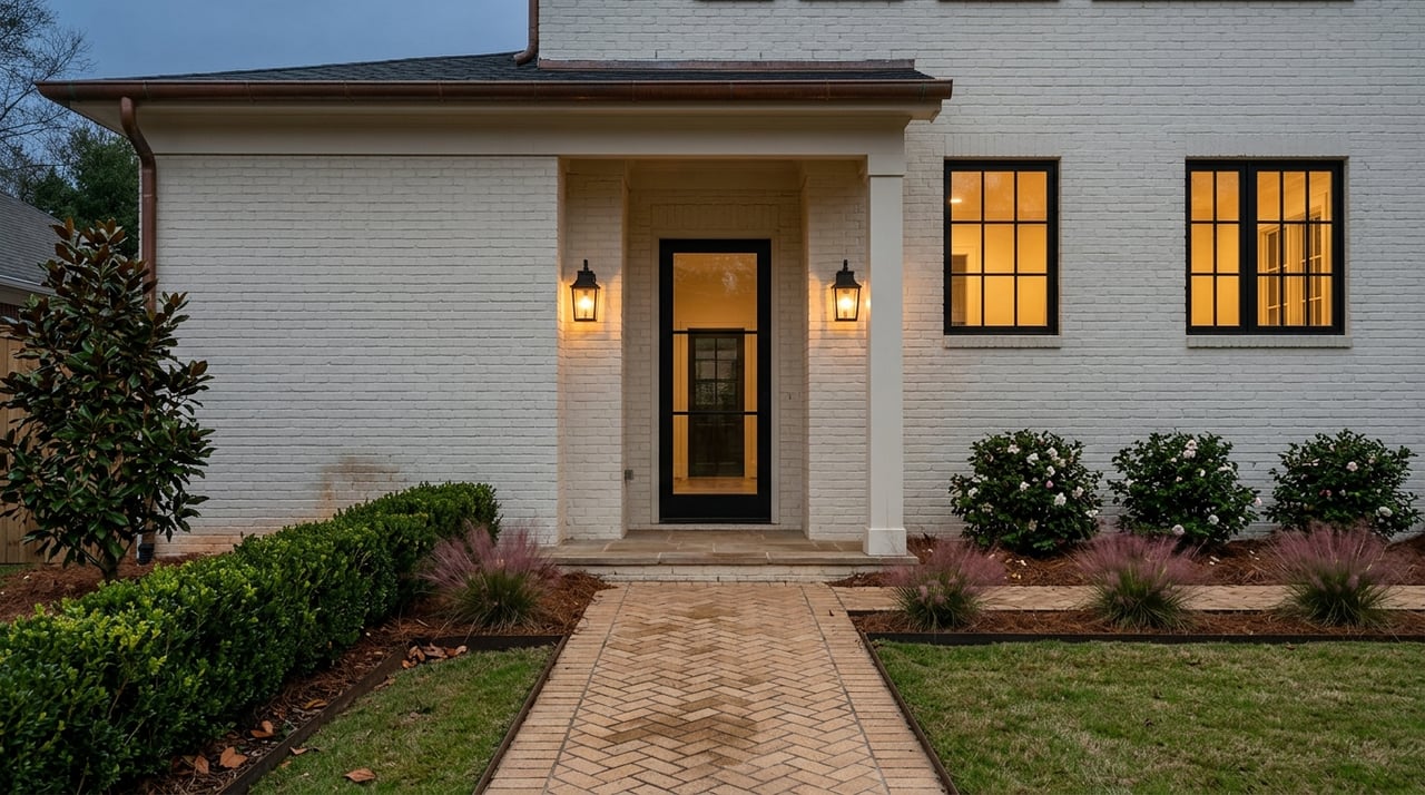
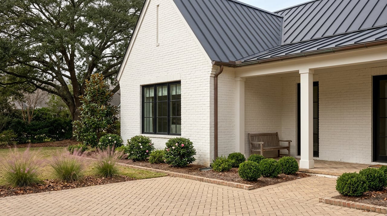
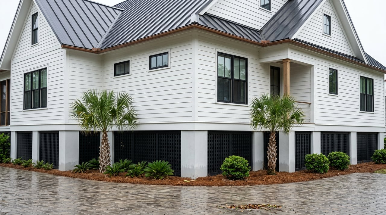
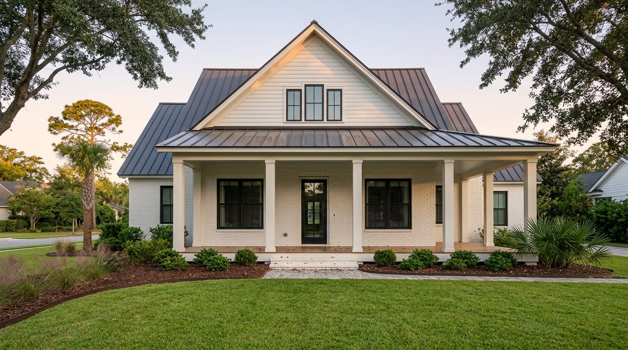
Part of what draws people to build here long-term is exactly this kind of thing: a trail that keeps expanding quietly, a stretch of maritime forest that's still full of surprises after two decades of use, a piece of local lore that's stuck around because the landscape gave it somewhere to live. When we sit down with clients planning a home on a lot near the Hugh S. Branyon Backcountry Trail or anywhere else along this stretch of the coast, we're thinking about how the property connects to the routines people already have, not just the view from the porch.
If you're picturing a home built around the way you actually spend your mornings here, whether that's a run before work or a slower walk with the dog, Limitless Homes would love to talk through what that looks like on your lot. Contact Us.